Morrilton, AR
Advertisement
Morrilton, AR Map
Morrilton is a US city in Conway County in the state of Arkansas. Located at the longitude and latitude of -92.741944, 35.156389 and situated at an elevation of 117 meters. In the 2020 United States Census, Morrilton, AR had a population of 6,992 people. Morrilton is in the Central Standard Time timezone at Coordinated Universal Time (UTC) -6. Find directions to Morrilton, AR, browse local businesses, landmarks, get current traffic estimates, road conditions, and more.
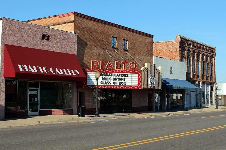
Morrilton, Arkansas, is a city that offers visitors a glimpse into the charm of small-town America with a rich historical backdrop. Known for its proximity to the scenic Petit Jean State Park, Morrilton serves as a gateway for outdoor enthusiasts eager to explore the park's hiking trails, waterfalls, and stunning vistas. The city itself is home to the historic Rialto Community Arts Center, a beautifully restored theater that hosts a variety of cultural events and performances, reflecting Morrilton's commitment to preserving its heritage and promoting the arts.
In addition to its natural and cultural attractions, Morrilton is recognized for its historical significance, with the Museum of Automobiles showcasing an impressive collection of vintage cars that attract automobile enthusiasts from far and wide. The city’s history is further highlighted by the preserved architecture along its downtown streets, offering a stroll through time with buildings that tell stories of Morrilton's past. Whether you're interested in history, nature, or community events, Morrilton provides a welcoming atmosphere that invites exploration and appreciation of its unique character.
Nearby cities include: Oppelo, AR, Plumerville, AR, Perry, AR, Houston, AR, Hattieville, AR, Menifee, AR, Perryville, AR, Wilson, AR, Adona, AR, Bigelow, AR.
Places in Morrilton
Dine and drink
Eat and drink your way through town.
Can't-miss activities
Culture, natural beauty, and plain old fun.
Places to stay
Hang your (vacation) hat in a place that’s just your style.
Advertisement


