Caddo Valley, AR
Advertisement
Caddo Valley, AR Map
Caddo Valley is a US city in Clark County in the state of Arkansas. Located at the longitude and latitude of -93.071010, 34.182040 and situated at an elevation of 64 meters. In the 2020 United States Census, Caddo Valley, AR had a population of 595 people. Caddo Valley is in the Central Standard Time timezone at Coordinated Universal Time (UTC) -6. Find directions to Caddo Valley, AR, browse local businesses, landmarks, get current traffic estimates, road conditions, and more.
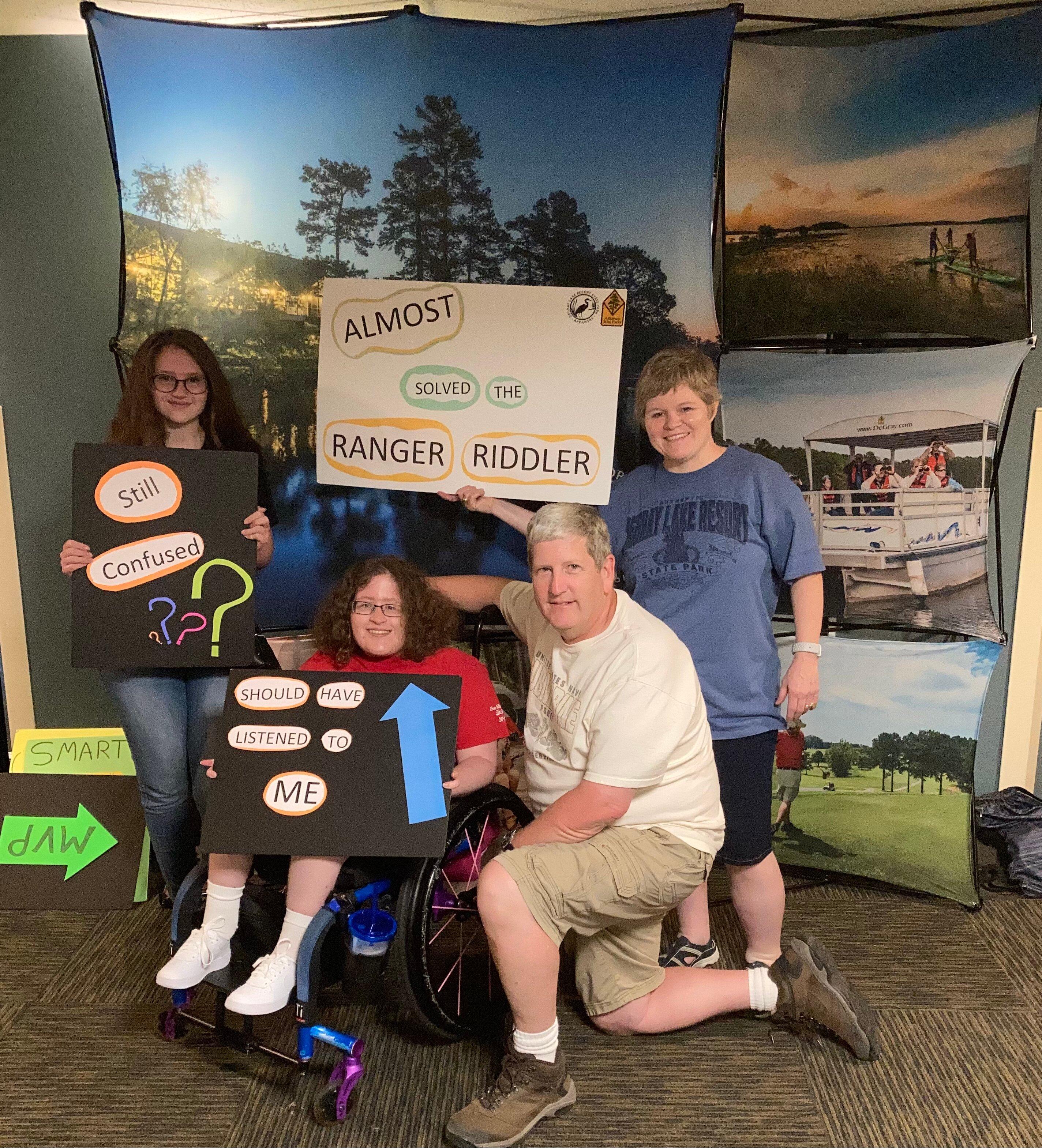
Caddo Valley, located in the state of Arkansas, is a quaint city known for its proximity to the scenic beauty of DeGray Lake and DeGray Lake Resort State Park. This charming location serves as a popular gateway for outdoor enthusiasts who are drawn to the area for its opportunities for fishing, boating, and hiking. The state's only resort state park offers a unique blend of natural beauty and recreational facilities, making it a favored destination for both locals and visitors. The park's amenities include a golf course, marina, and lodge, providing a comprehensive outdoor experience.
The history of Caddo Valley is intertwined with the rich cultural heritage of the Caddo people, after whom the city is named. The area is steeped in history, with archaeological sites and historical markers offering a glimpse into the region's past. While the city itself is small, its location along major transportation routes makes it an accessible stop for travelers exploring the broader region of Arkansas. Visitors often appreciate the combination of natural attractions and historical significance that Caddo Valley offers, making it a notable spot on the map for those exploring the cultural and natural landscapes of Arkansas.
Nearby cities include: Arkadelphia, AR, Friendship, AR, Midway, AR, Gum Springs, AR, Donaldson, AR, Bismarck, AR, Gurdon, AR, Malvern, AR, Okolona, AR, Perla, AR.
Places in Caddo Valley
Dine and drink
Eat and drink your way through town.
Can't-miss activities
Culture, natural beauty, and plain old fun.
Places to stay
Hang your (vacation) hat in a place that’s just your style.
Advertisement


