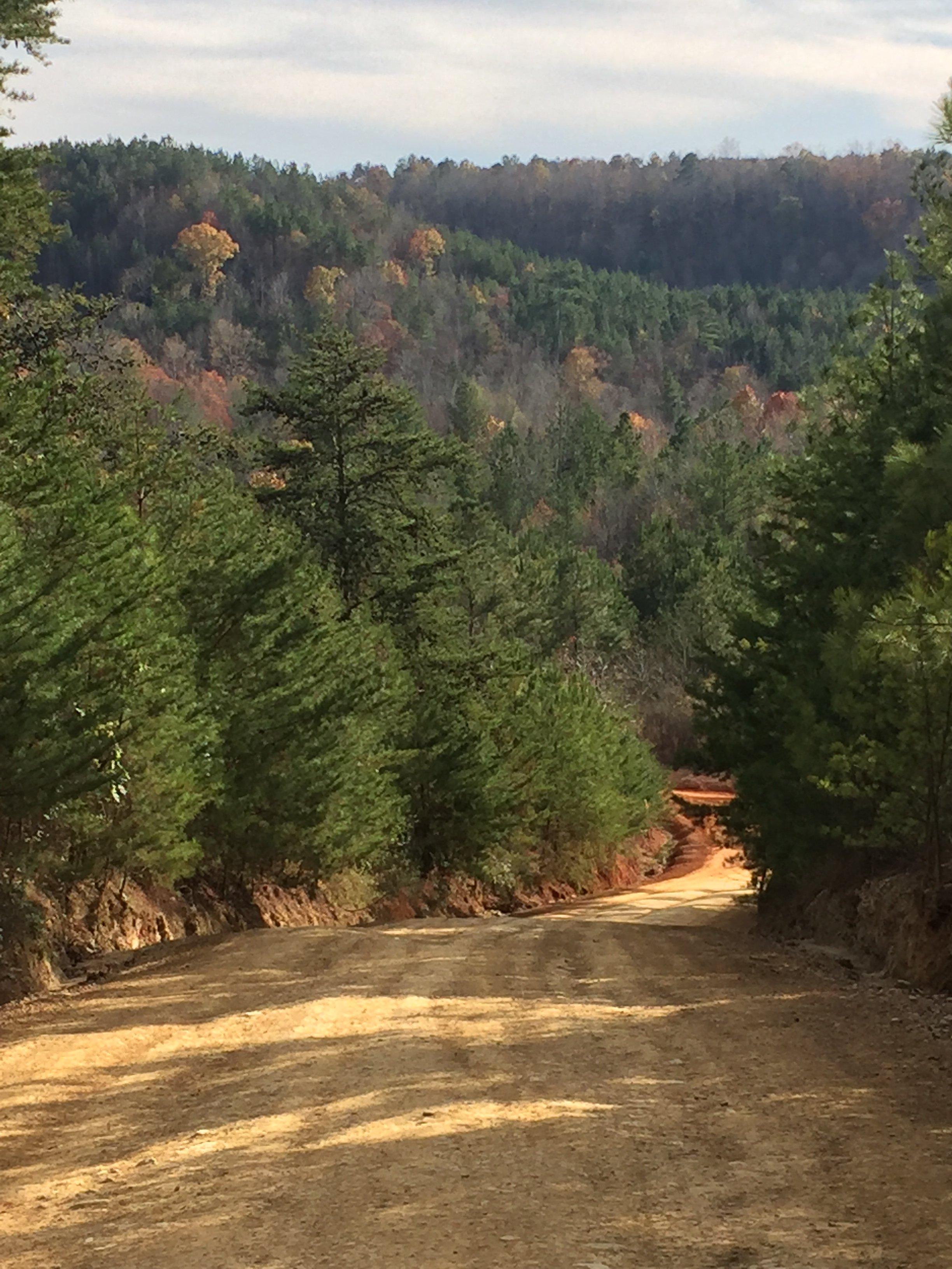
Sipsey, AL
Advertisement
Sipsey, AL Map
Sipsey is a US city in Walker County in the state of Alabama. Located at the longitude and latitude of -87.086127, 33.823108 and situated at an elevation of 131 meters. In the 2020 United States Census, Sipsey, AL had a population of 363 people. Sipsey is in the Central Standard Time timezone at Coordinated Universal Time (UTC) -6. Find directions to Sipsey, AL, browse local businesses, landmarks, get current traffic estimates, road conditions, and more.
Sipsey, Alabama, is a small, picturesque town known for its proximity to the natural beauty of the William B. Bankhead National Forest. This forest, often referred to as the "Land of a Thousand Waterfalls," is a significant draw for outdoor enthusiasts, offering a myriad of hiking trails, camping spots, and opportunities for wildlife viewing. The town itself serves as a serene gateway for those looking to explore the lush landscapes and scenic waterways of the Sipsey Wilderness, a part of the national forest known for its rugged terrain and pristine environment.
Historically, Sipsey has roots in the coal mining industry, which played a pivotal role in its development during the early 20th century. Though the town has moved beyond its mining origins, remnants of this era can still be found in the local architecture and community culture. Visitors to Sipsey can enjoy a quiet, small-town atmosphere while also having convenient access to the natural wonders of the surrounding area, making it an ideal destination for those seeking both tranquility and adventure.
Nearby cities include: Sumiton, AL, Dora, AL, Cordova, AL, Jasper, AL, West Jefferson, AL, Parrish, AL, Colony, AL, Cardiff, AL, Graysville, AL, Mount Olive, AL.
Places in Sipsey
Can't-miss activities
Culture, natural beauty, and plain old fun.
Places to stay
Hang your (vacation) hat in a place that’s just your style.
Advertisement


