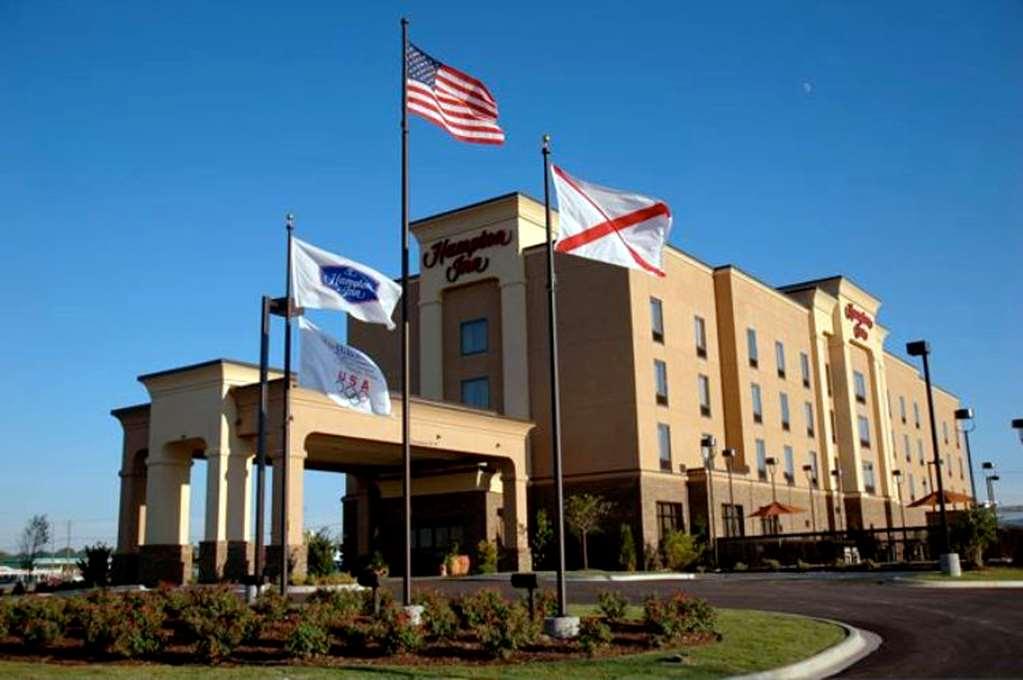
Shelby, AL
Advertisement
Shelby, AL Map
Shelby is a US city in Shelby County in the state of Alabama. Located at the longitude and latitude of -86.584200, 33.110300 and situated at an elevation of 495 meters. In the 2020 United States Census, Shelby, AL had a population of 940 people. Shelby is in the Central Standard Time timezone at Coordinated Universal Time (UTC) -6. Find directions to Shelby, AL, browse local businesses, landmarks, get current traffic estimates, road conditions, and more.
Shelby, Alabama, is a small city with a rich historical backdrop and a close-knit community atmosphere. Known for its serene landscapes, Shelby offers a glimpse into Alabama's past through its historical landmarks and outdoor recreational opportunities. A notable attraction is the Heart of Dixie Railroad Museum, which preserves and showcases the region's railroad heritage with vintage locomotives and train rides that offer a unique experience for visitors of all ages. The city's charm is further accentuated by its proximity to the scenic beauty of Lay Lake, a popular spot for fishing, boating, and picnicking, making it a haven for outdoor enthusiasts.
In addition to its natural and historical offerings, Shelby is also recognized for its role in the broader historical tapestry of Alabama. The city and its surrounding areas have roots that stretch back to the early days of the state's formation, with several sites that reflect its historical significance in the growth of the region. While Shelby may not be a bustling metropolis, its tranquil environment and historical richness provide a peaceful retreat with a touch of Southern hospitality. Whether you're exploring the railroad museum or enjoying a leisurely day by the lake, Shelby offers a quaint yet enriching experience for those who visit.
Nearby cities include: Columbiana, AL, Talladega Springs, AL, Wilsonville, AL, Calera, AL, Jemison, AL, Thorsby, AL, Chelsea, AL, Montevallo, AL, Alabaster, AL, Westover, AL.
Places in Shelby
Dine and drink
Eat and drink your way through town.
Can't-miss activities
Culture, natural beauty, and plain old fun.
Places to stay
Hang your (vacation) hat in a place that’s just your style.
Advertisement


