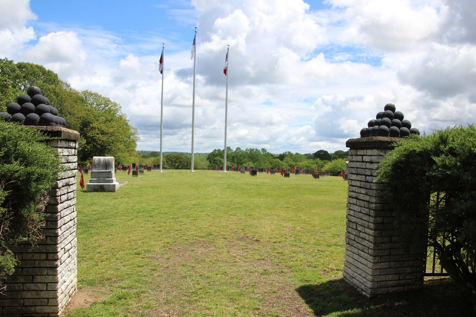
Marbury, AL
Advertisement
Marbury, AL Map
Marbury is a US city in Autauga County in the state of Alabama. Located at the longitude and latitude of -86.471100, 32.701100 and situated at an elevation of 522 meters. In the 2020 United States Census, Marbury, AL had a population of 1,427 people. Marbury is in the Central Standard Time timezone at Coordinated Universal Time (UTC) -6. Find directions to Marbury, AL, browse local businesses, landmarks, get current traffic estimates, road conditions, and more.
Marbury, located in Alabama, is a quaint and unassuming town that offers a glimpse into the serene rural life of the southern United States. While it may not boast the bustling attractions of a larger city, Marbury is known for its tight-knit community and historical significance. It is home to the historic Marbury School, which reflects the town's commitment to education and its rich past. The school, established in the early 20th century, serves as a reminder of the region's educational heritage and is a point of pride for residents.
Visitors to Marbury can enjoy the natural beauty that surrounds the town, with opportunities for outdoor activities such as hiking, fishing, and bird watching in the nearby nature areas. The town's charm is further accentuated by its local events and festivals, which bring the community together and celebrate the area's culture and traditions. While Marbury may not have the extensive list of attractions found in larger urban centers, its appeal lies in its simplicity, history, and the warm hospitality of its residents.
Nearby cities include: Deatsville, AL, Pine Level, AL, Clanton, AL, Elmore, AL, Billingsley, AL, Millbrook, AL, Coosada, AL, Prattville, AL, Wetumpka, AL, Rockford, AL.
Places in Marbury
Dine and drink
Eat and drink your way through town.
Can't-miss activities
Culture, natural beauty, and plain old fun.
Places to stay
Hang your (vacation) hat in a place that’s just your style.
Advertisement


