Luverne, AL
Advertisement
Luverne, AL Map
Luverne is a US city in Crenshaw County in the state of Alabama. Located at the longitude and latitude of -86.263300, 31.714400 and situated at an elevation of 108 meters. In the 2020 United States Census, Luverne, AL had a population of 2,765 people. Luverne is in the Central Standard Time timezone at Coordinated Universal Time (UTC) -6. Find directions to Luverne, AL, browse local businesses, landmarks, get current traffic estimates, road conditions, and more.
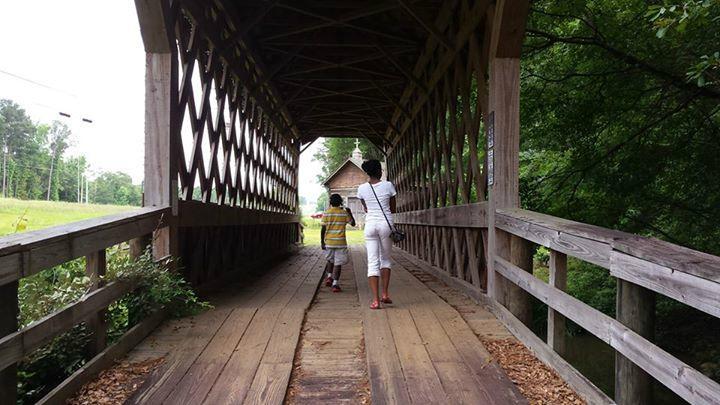
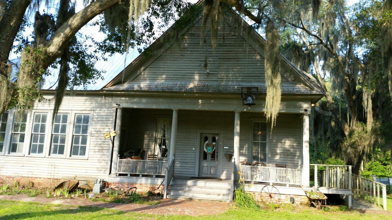
Luverne, Alabama, is a charming small city known for its rich history and welcoming community spirit. Established in the late 19th century, Luverne has grown from its roots as a railroad town to become a hub of local culture and heritage. The city is recognized for its well-preserved historical sites, including the iconic Luverne United Methodist Church, which stands as a testament to the area's architectural history and community dedication. Visitors often enjoy exploring the scenic parks and engaging with local events that highlight the region's Southern charm.
Among the popular places in Luverne are the Crenshaw County Historical Museum, where visitors can delve into the local history through various exhibits and artifacts. The We Piddle Around Theater offers a unique cultural experience with its storytelling events and theatrical performances that celebrate Southern folklore and traditions. For those seeking outdoor activities, Luverne provides access to the scenic landscapes of nearby natural areas, offering opportunities for hiking, picnicking, and enjoying the serene Alabama countryside. Overall, Luverne is a delightful destination for those interested in exploring the heart of Southern heritage and hospitality.
Nearby cities include: Rutledge, AL, Glenwood, AL, Goshen, AL, Brantley, AL, Petrey, AL, Dozier, AL, Jack, AL, Troy, AL, Pisgah, AL, Greenville, AL.
Places in Luverne
Dine and drink
Eat and drink your way through town.
Can't-miss activities
Culture, natural beauty, and plain old fun.
Places to stay
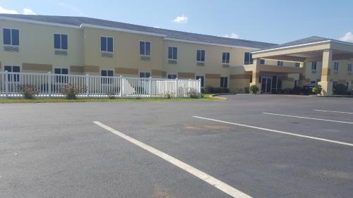
Hang your (vacation) hat in a place that’s just your style.
Advertisement


