Clayton, AL
Advertisement
Clayton, AL Map
Clayton is a US city in Barbour County in the state of Alabama. Located at the longitude and latitude of -85.449024, 31.877504 and situated at an elevation of 180 meters. In the 2020 United States Census, Clayton, AL had a population of 2,265 people. Clayton is in the Central Standard Time timezone at Coordinated Universal Time (UTC) -6. Find directions to Clayton, AL, browse local businesses, landmarks, get current traffic estimates, road conditions, and more.
Clayton, Alabama, is a city that offers a glimpse into the rich tapestry of Southern history and charm. Known for its historic architecture and small-town feel, Clayton is a place where visitors can appreciate the slower pace of life while exploring the stories of the past. One of the most notable landmarks is the Barbour County Courthouse, a striking example of late 19th-century architecture that still serves as a centerpiece of the town. This courthouse is not just a functional building but also a symbol of Clayton's historical significance, as it has been the site of many important events over the years.
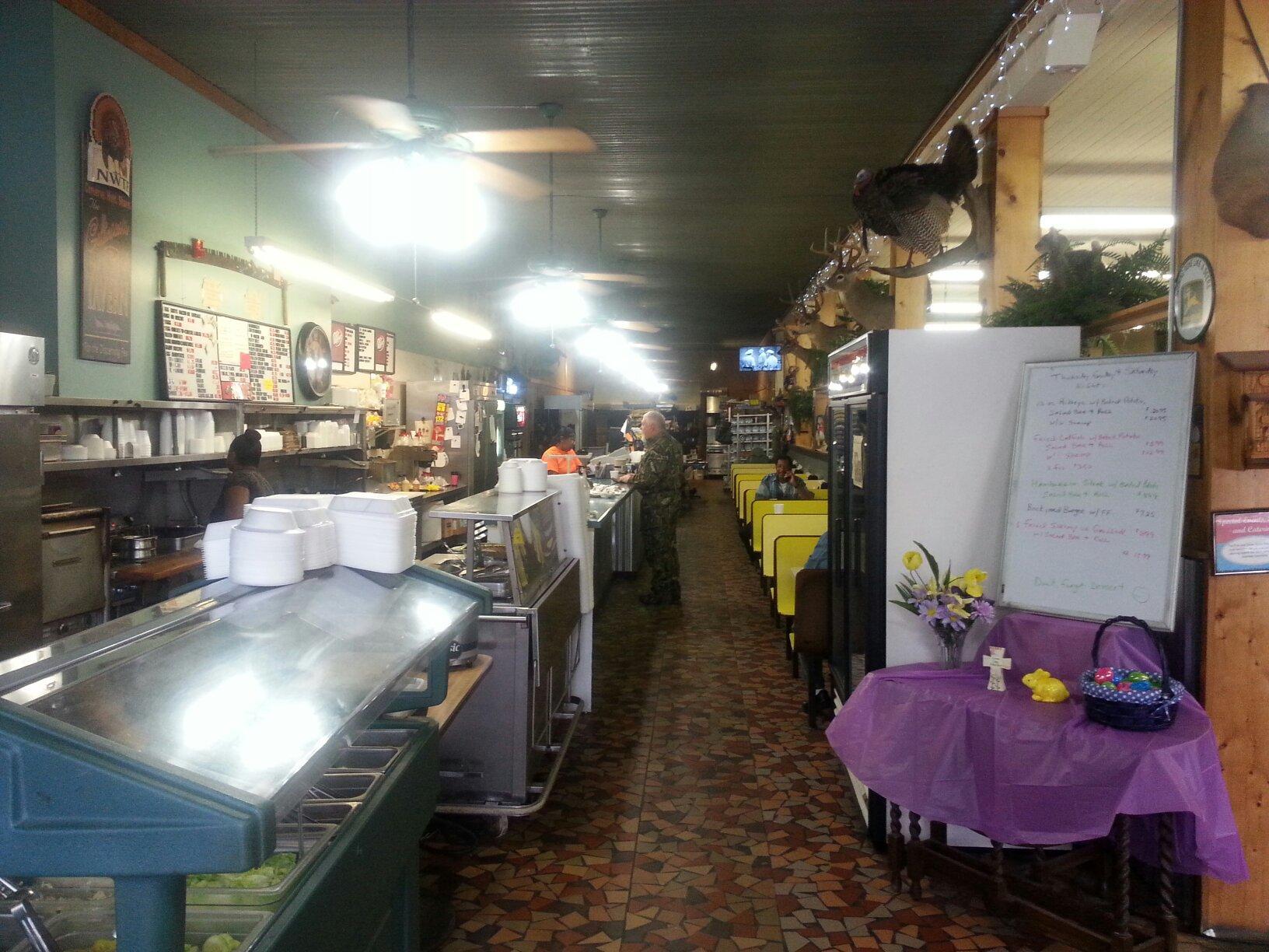
Aside from its historical allure, Clayton also offers visitors the chance to enjoy local parks and traditional Southern dining experiences. The community often comes together for events that celebrate local culture and history, providing a welcoming atmosphere for newcomers. While it may not boast the attractions of a large city, Clayton's charm lies in its authenticity and the warmth of its residents, making it a worthwhile stop for those exploring the heart of Alabama. Whether you're interested in history, architecture, or simply enjoying the ambiance of a classic Southern town, Clayton offers a peaceful retreat with a rich narrative.
Nearby cities include: Louisville, AL, Bakerhill, AL, Midway, AL, Clio, AL, Blue Springs, AL, Eufaula, AL, Georgetown, GA, Banks, AL, Union Springs, AL, Brundidge, AL.
Places in Clayton
Dine and drink
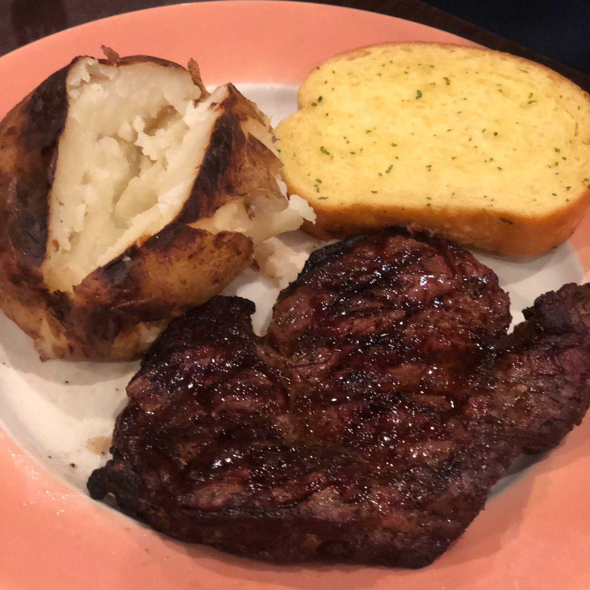
Eat and drink your way through town.
Can't-miss activities
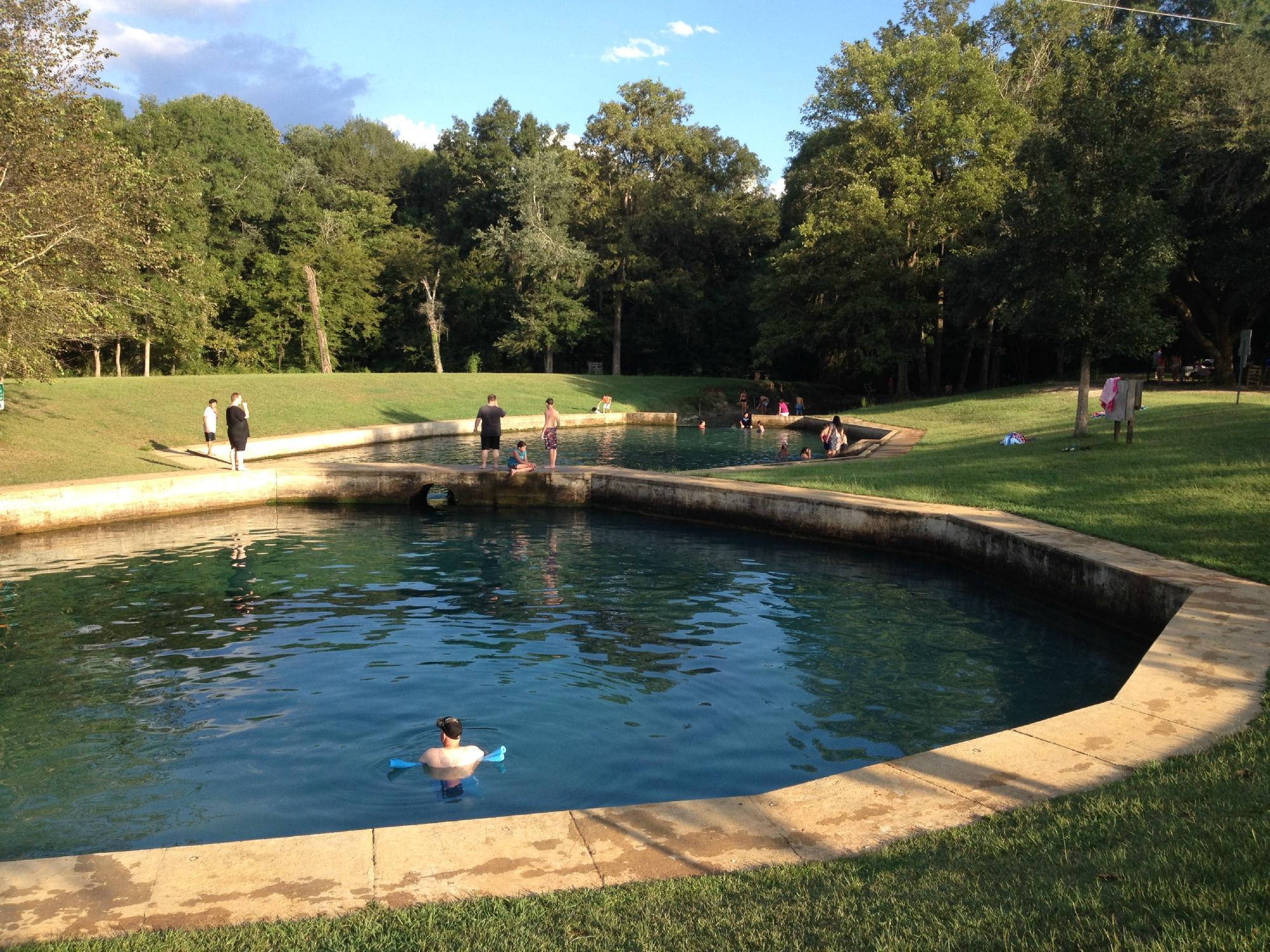
Culture, natural beauty, and plain old fun.
Places to stay
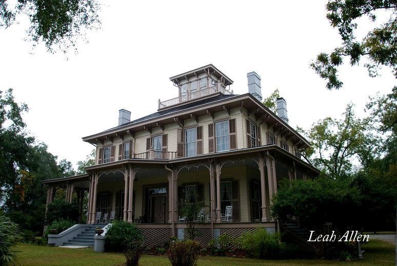
Hang your (vacation) hat in a place that’s just your style.
Advertisement


