Carolina, AL
Advertisement
Carolina, AL Map
Carolina is a US city in Covington County in the state of Alabama. Located at the longitude and latitude of -86.520607, 31.231521 and situated at an elevation of 100 meters. In the 2020 United States Census, Carolina, AL had a population of 286 people. Carolina is in the Central Standard Time timezone at Coordinated Universal Time (UTC) -6. Find directions to Carolina, AL, browse local businesses, landmarks, get current traffic estimates, road conditions, and more.
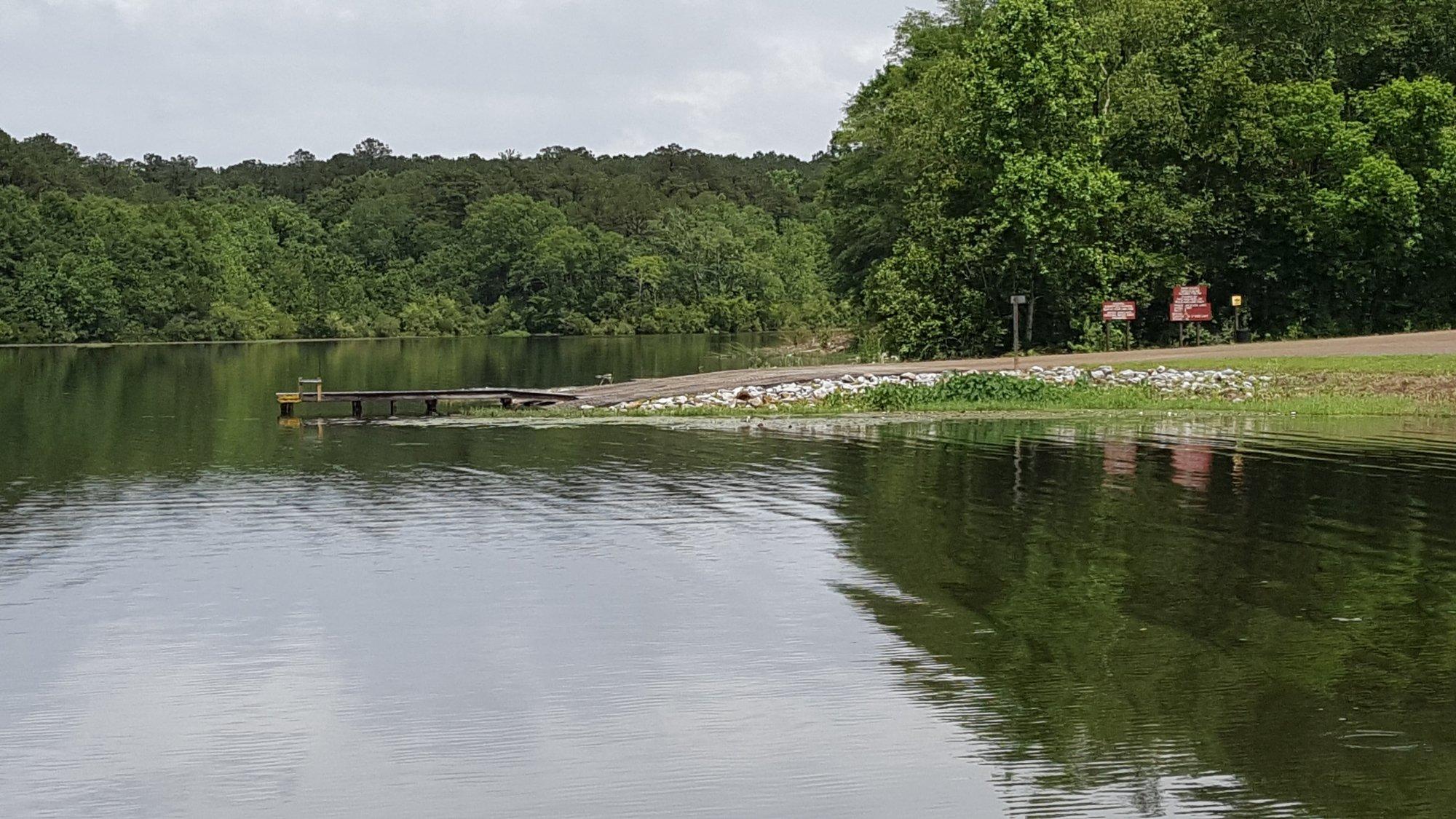
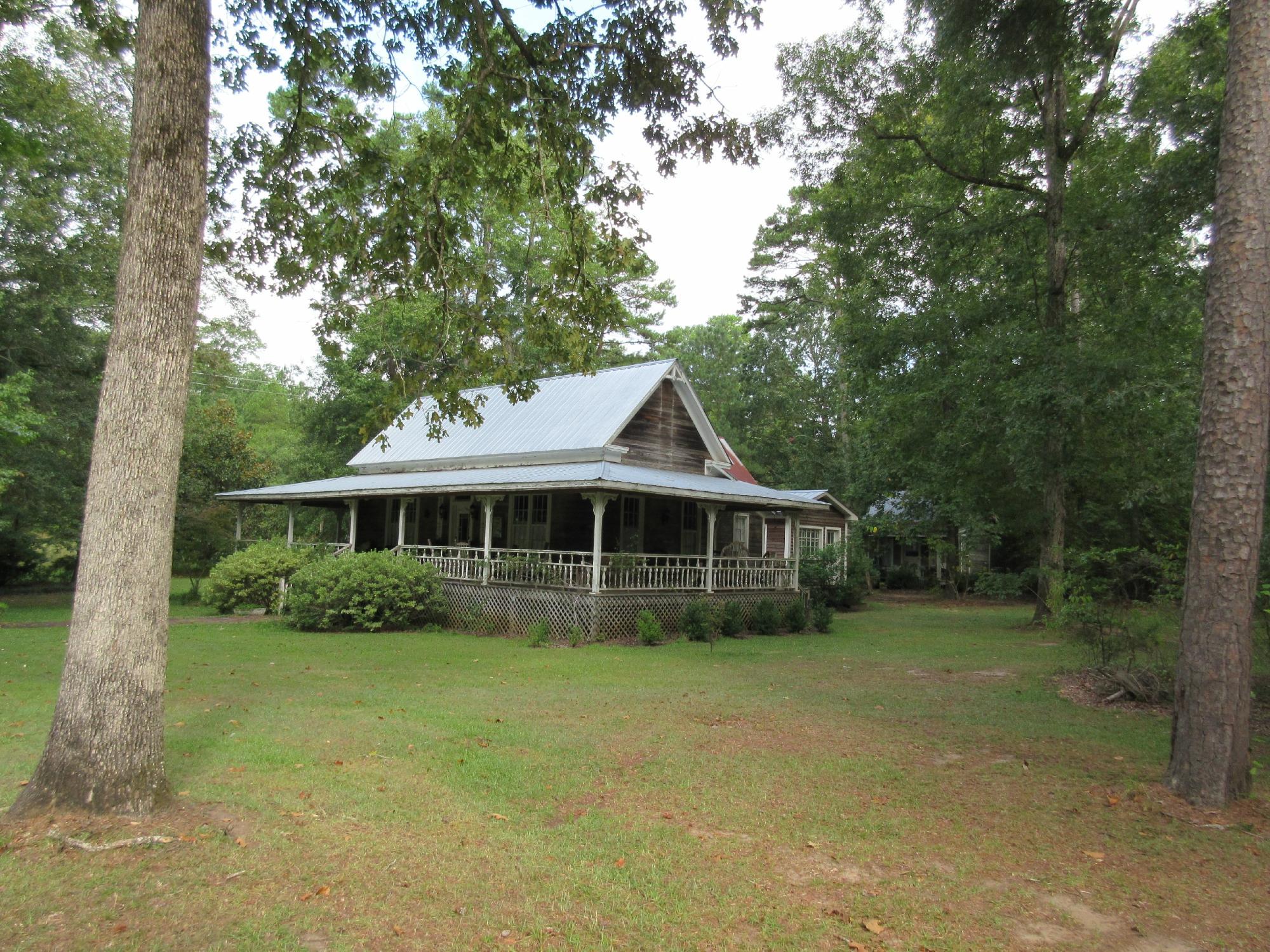
Carolina, Alabama, is a quaint locale recognized for its serene environment and Southern charm. While it may not boast the bustling attractions of larger cities, Carolina offers a glimpse into the history and culture of Alabama. The city is dotted with historical landmarks that speak to its past, providing a peaceful retreat for those interested in exploring the roots of the region. Visitors often appreciate the local architecture and the sense of community that permeates the area.
One of the most notable aspects of Carolina is its commitment to preserving its history and natural beauty. The city offers several small parks and green spaces where locals and visitors alike can enjoy the tranquility of the area. Carolina is also known for its community events, which often highlight local traditions and foster a strong sense of camaraderie among residents. This city serves as a charming destination for those seeking to experience the understated allure of Alabama's smaller towns.
Nearby cities include: Libertyville, AL, Andalusia, AL, River Falls, AL, Sanford, AL, Heath, AL, Horn Hill, AL, Gantt, AL, Babbie, AL, Red Level, AL, Onycha, AL.
Places in Carolina
Dine and drink
Eat and drink your way through town.
Places to stay
Hang your (vacation) hat in a place that’s just your style.
Advertisement


