Greensboro, AL
Advertisement
Greensboro, AL Map
Greensboro is a US city in Hale County in the state of Alabama. Located at the longitude and latitude of -87.596216, 32.702340 and situated at an elevation of 86 meters. In the 2020 United States Census, Greensboro, AL had a population of 2,218 people. Greensboro is in the Central Standard Time timezone at Coordinated Universal Time (UTC) -6. Find directions to Greensboro, AL, browse local businesses, landmarks, get current traffic estimates, road conditions, and more.
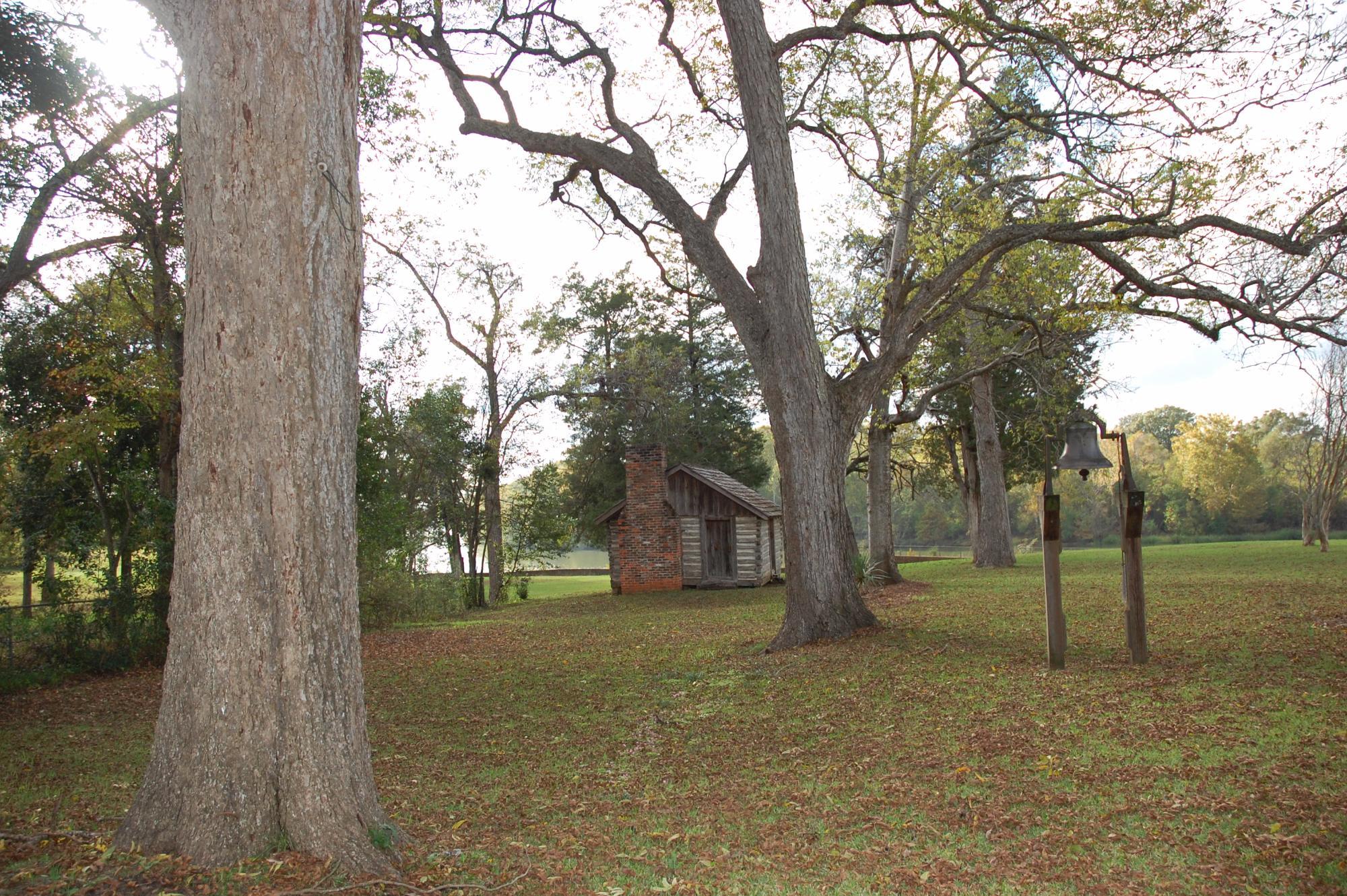
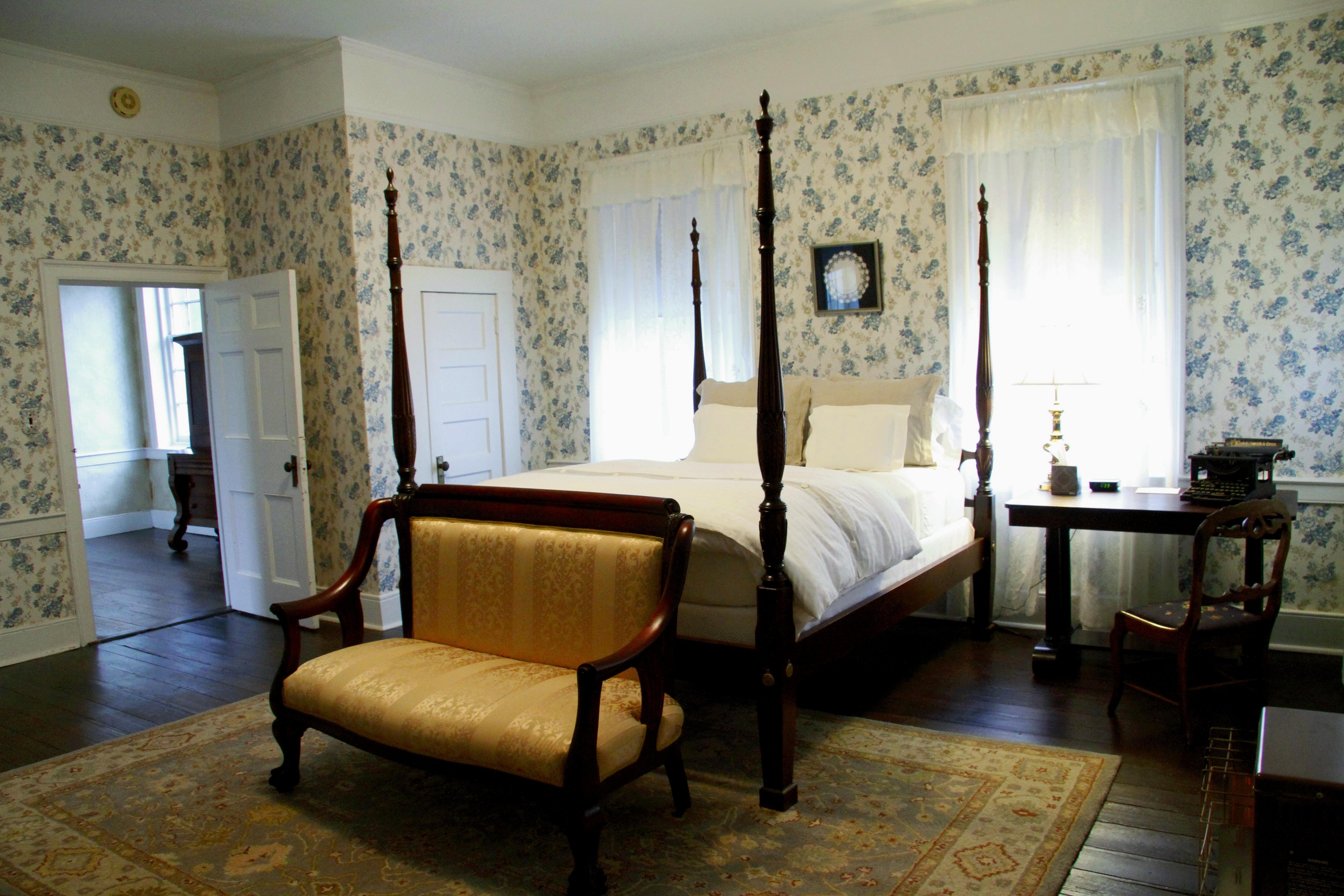
Greensboro, Alabama, is a city steeped in rich history and Southern charm, often recognized for its well-preserved antebellum architecture and its role in the Civil Rights Movement. The city is home to several notable historical sites, including Magnolia Grove, a beautifully maintained Greek Revival mansion that serves as a museum chronicling the region's past. Additionally, Greensboro is known for its connection to the Rural Studio, an architectural program from Auburn University that focuses on innovative and sustainable design, which has left a lasting impact on the community through various unique and functional structures.
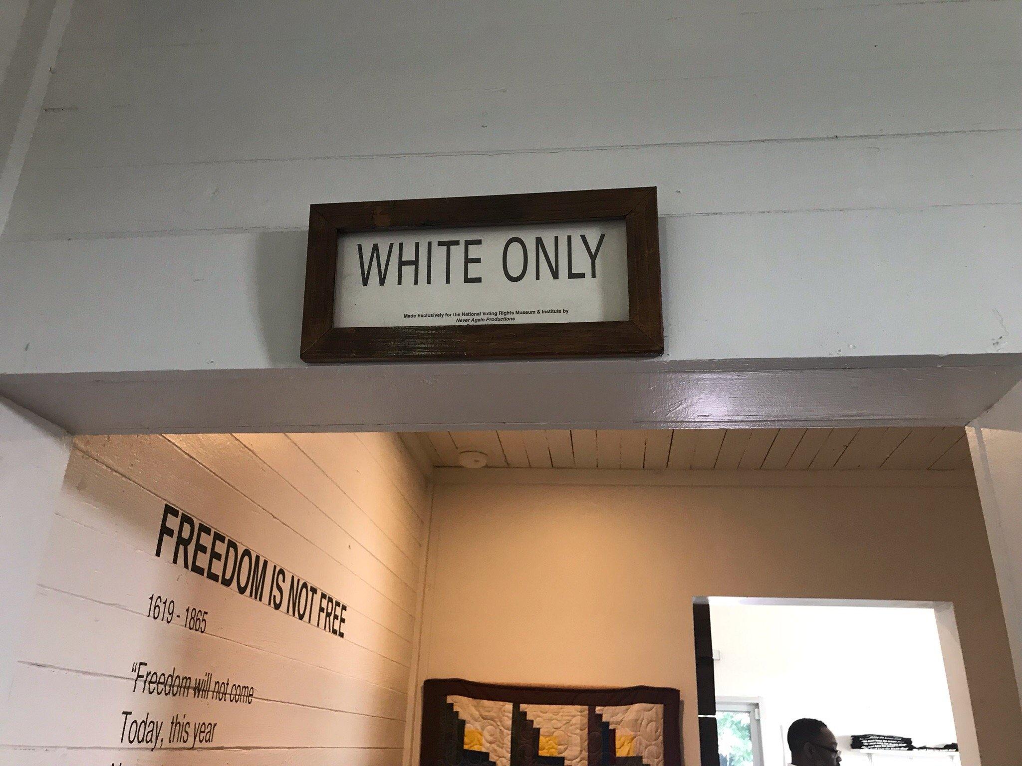
Visitors to Greensboro can explore the quaint downtown area, which features a selection of local shops, eateries, and art galleries that reflect the city's creative spirit and dedication to preserving its heritage. The Safe House Black History Museum is another key attraction, providing insights into Greensboro's significant contributions to the Civil Rights Movement, including its role as a refuge for Dr. Martin Luther King Jr. during the struggle for equality. These historical and cultural sites make Greensboro a fascinating destination for those interested in exploring the deep roots of Southern history and the ongoing story of community resilience and innovation.
Nearby cities include: Newbern, AL, Akron, AL, Forkland, AL, Faunsdale, AL, Marion, AL, Uniontown, AL, Demopolis, AL, Eutaw, AL, Moundville, AL, Dayton, AL.
Places in Greensboro
Dine and drink
Eat and drink your way through town.
Can't-miss activities
Culture, natural beauty, and plain old fun.
Places to stay
Hang your (vacation) hat in a place that’s just your style.
Advertisement


