Fruithurst, AL
Advertisement
Fruithurst, AL Map
Fruithurst is a US city in Cleburne County in the state of Alabama. Located at the longitude and latitude of -85.431759, 33.731103 and situated at an elevation of 329 meters. In the 2020 United States Census, Fruithurst, AL had a population of 235 people. Fruithurst is in the Central Standard Time timezone at Coordinated Universal Time (UTC) -6. Find directions to Fruithurst, AL, browse local businesses, landmarks, get current traffic estimates, road conditions, and more.
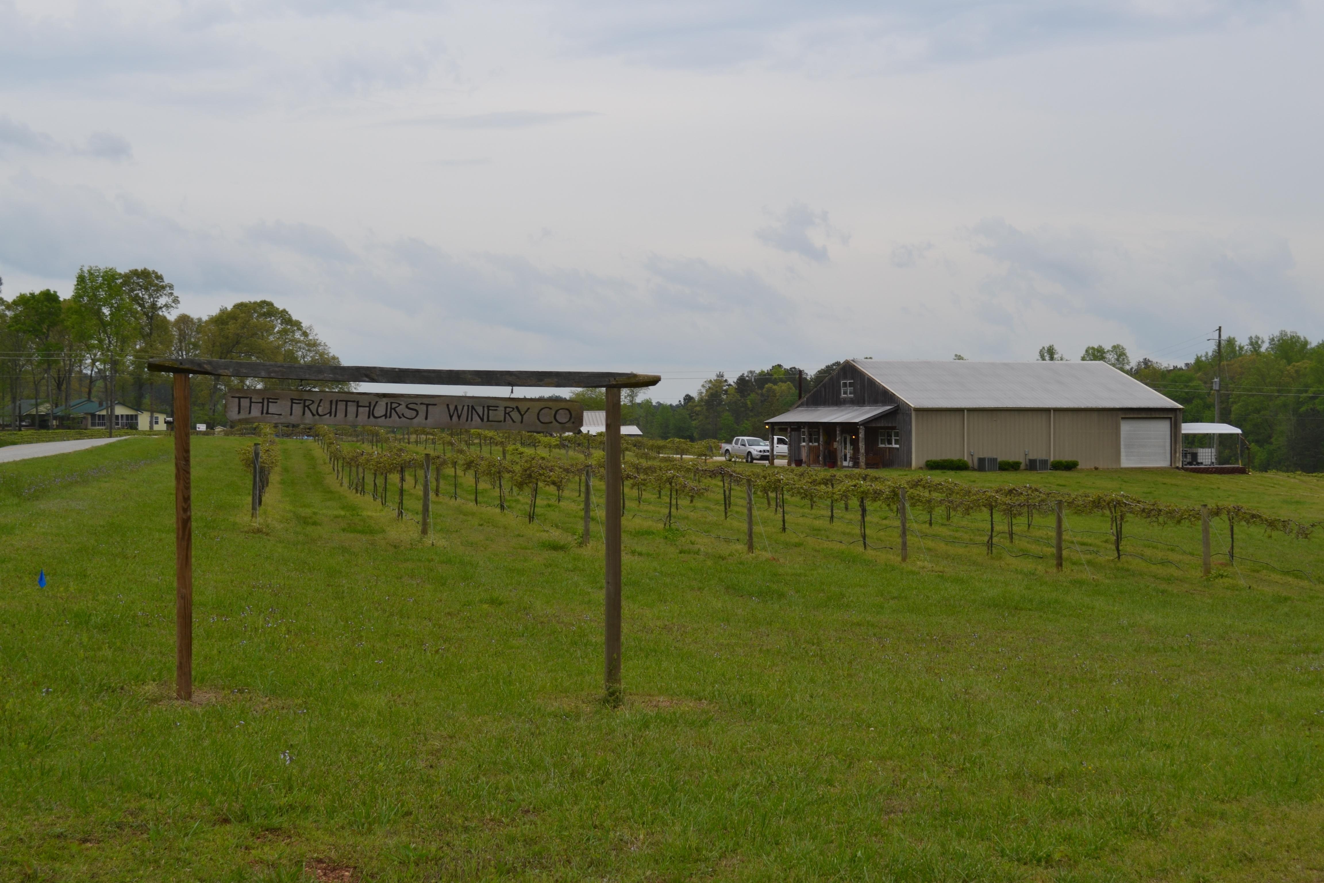
Fruithurst, Alabama, is a small town with a rich history rooted in agriculture and viticulture. Originally established in the late 19th century as part of a colony project aimed at promoting viticulture and fruit farming, Fruithurst quickly became known for its vineyards and wine production. This historical backdrop still influences the town’s character today, offering visitors a glimpse into its past through local stories and community events that celebrate its agricultural heritage.
While Fruithurst may not boast an extensive list of tourist attractions, it is known for its scenic landscapes and charming rural atmosphere. The area offers a peaceful retreat for those looking to explore the natural beauty of Alabama, with local wineries providing a taste of the region's history and culture. Visitors often enjoy leisurely drives through the countryside, stopping at vineyards to sample wines and enjoy the picturesque surroundings, making Fruithurst a quaint destination for those interested in agritourism and Southern hospitality.
Nearby cities include: Edwardsville, AL, Tallapoosa, GA, Heflin, AL, Waco, GA, Buchanan, GA, Ranburne, AL, Mount Zion, GA, Bremen, GA, Bowdon, GA, Piedmont, AL.
Places in Fruithurst
Dine and drink
Eat and drink your way through town.
Can't-miss activities
Culture, natural beauty, and plain old fun.
Places to stay
Hang your (vacation) hat in a place that’s just your style.
Advertisement


