Demopolis, AL
Advertisement
Demopolis, AL Map
Demopolis is a US city in Marengo County in the state of Alabama. Located at the longitude and latitude of -87.837222, 32.509444 and situated at an elevation of 37 meters. In the 2020 United States Census, Demopolis, AL had a population of 7,162 people. Demopolis is in the Central Standard Time timezone at Coordinated Universal Time (UTC) -6. Find directions to Demopolis, AL, browse local businesses, landmarks, get current traffic estimates, road conditions, and more.
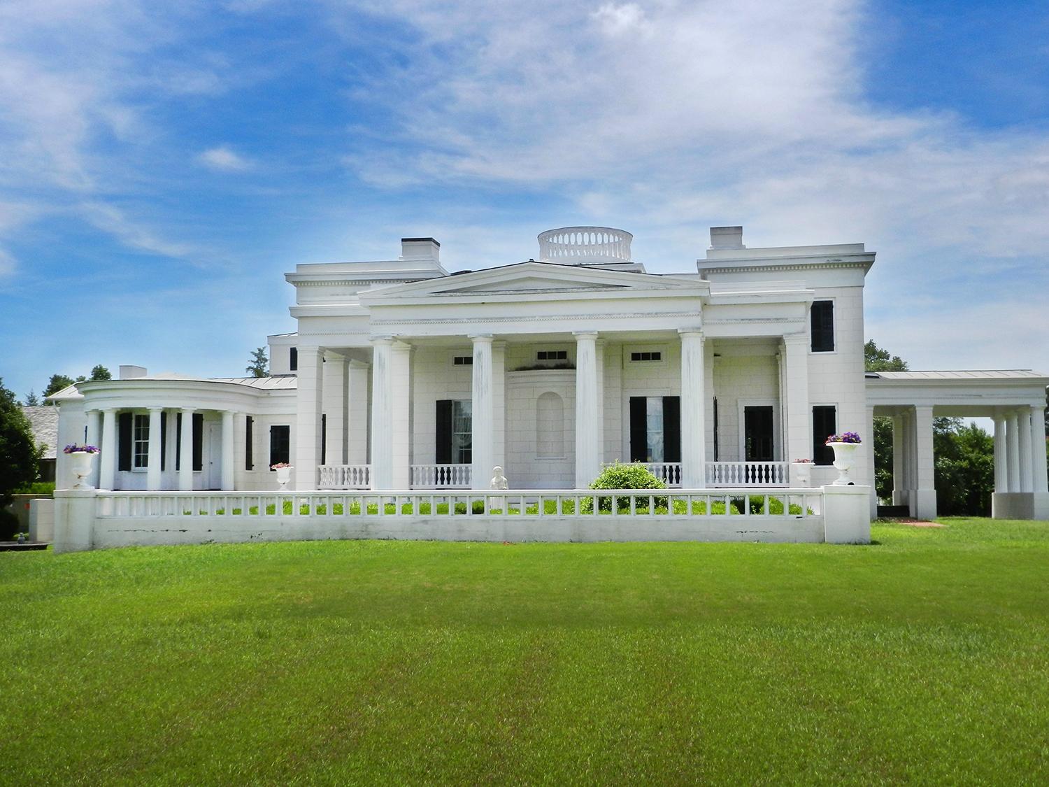
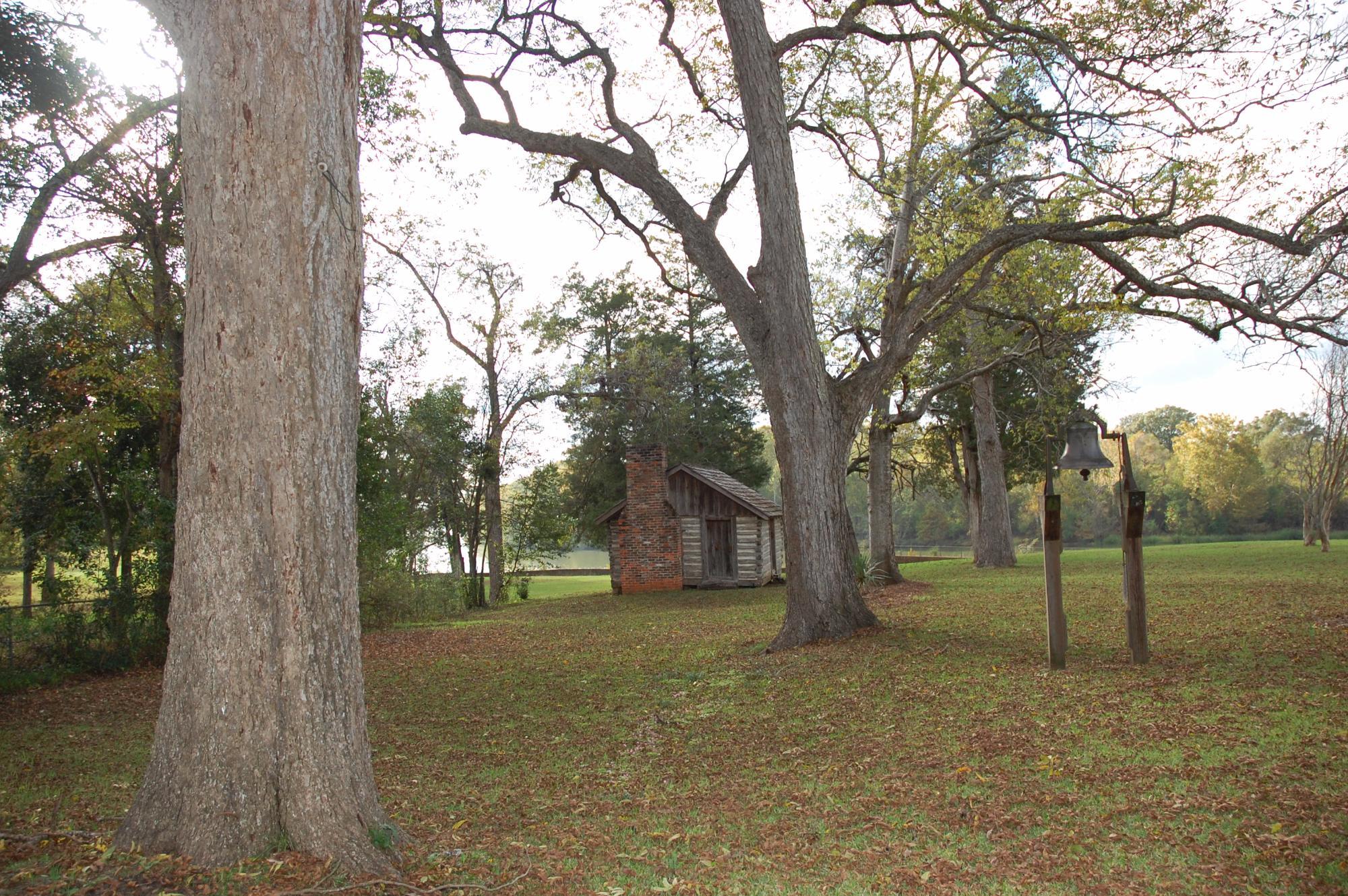
Demopolis, located in the heart of Alabama, is a city steeped in rich history and Southern charm. Known for its antebellum architecture, Demopolis is home to several historic sites, including Bluff Hall and Gaineswood, both of which offer a glimpse into the region's past. Bluff Hall, built in 1832, showcases period furnishings and artifacts, while Gaineswood, a National Historic Landmark, is renowned for its Greek Revival architecture and intricate interiors. These sites offer visitors a tangible connection to the pre-Civil War era and are must-sees for history enthusiasts.
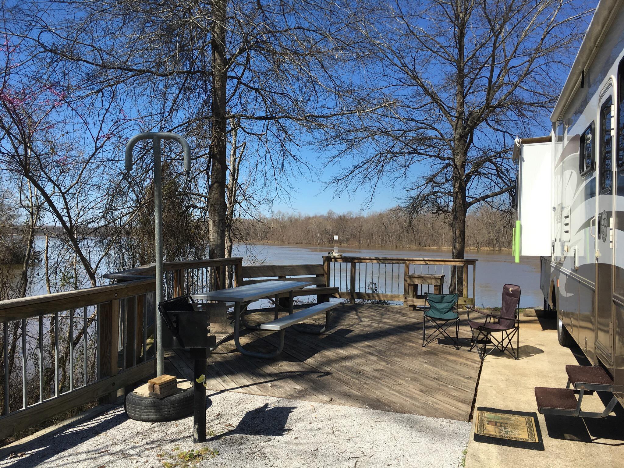
Beyond its historical allure, Demopolis is also celebrated for its natural beauty and community events. The city hosts the annual Christmas on the River festival, a beloved tradition that features a parade, fireworks, and a nautical light show on the Tombigbee River. For those looking to enjoy the outdoors, Foscue Park provides a serene setting for camping, fishing, and picnicking along the riverbank. With its blend of history, culture, and natural attractions, Demopolis offers a quintessential Southern experience that captivates visitors year-round.
Nearby cities include: Forkland, AL, Providence, AL, Linden, AL, Faunsdale, AL, Dayton, AL, Bellamy, AL, Newbern, AL, Myrtlewood, AL, Greensboro, AL, Uniontown, AL.
Places in Demopolis
Can't-miss activities
Culture, natural beauty, and plain old fun.
Places to stay
Hang your (vacation) hat in a place that’s just your style.
Advertisement


