Bridgeport, AL
Advertisement
Bridgeport, AL Map
Bridgeport is a US city in Jackson County in the state of Alabama. Located at the longitude and latitude of -85.718966, 34.947303 and situated at an elevation of 205 meters. In the 2020 United States Census, Bridgeport, AL had a population of 2,264 people. Bridgeport is in the Central Standard Time timezone at Coordinated Universal Time (UTC) -6. Find directions to Bridgeport, AL, browse local businesses, landmarks, get current traffic estimates, road conditions, and more.
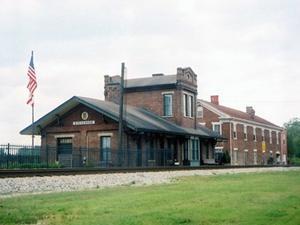
Bridgeport, Alabama, is a small city with a rich historical tapestry, primarily known for its significance during the Civil War and its strategic location along the Tennessee River. The city boasts a quaint charm, reflecting a blend of Southern hospitality and historical intrigue. One of the key attractions in Bridgeport is the Bridgeport Depot Museum, which offers insights into the city's past, including its role as a transportation hub during the Civil War. This museum is housed in a restored train depot, providing a tangible connection to the city's past.
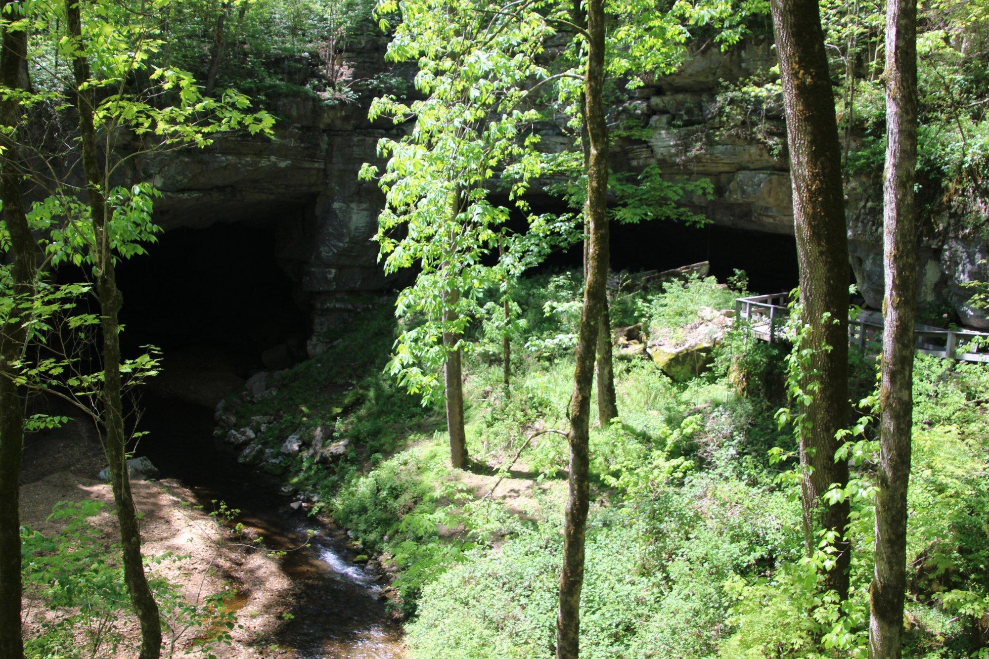
Another notable site is the Russell Cave National Monument, located just a short drive from the city center. This monument is an archaeological site offering a glimpse into prehistoric human habitation. Visitors to Bridgeport can also enjoy the natural beauty of the surrounding landscapes, which offer opportunities for outdoor activities such as hiking and fishing. The city's historical significance and serene environment make it a unique destination for those interested in American history and natural beauty.
Nearby cities include: South Pittsburg, TN, New Hope, TN, Orme, TN, Kimball, TN, Stevenson, AL, Jasper, TN, Whiteside, TN, Trenton, GA, Sequatchie, TN, Sherwood, TN.
Places in Bridgeport
Dine and drink
Eat and drink your way through town.
Can't-miss activities
Culture, natural beauty, and plain old fun.
Places to stay
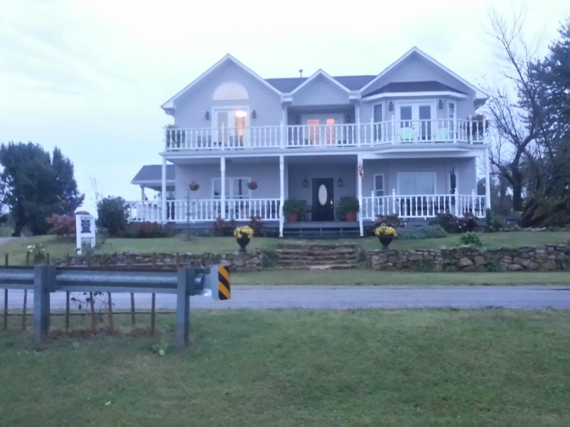
Hang your (vacation) hat in a place that’s just your style.
Advertisement


