Baileyton, AL
Advertisement
Baileyton, AL Map
Baileyton is a US city in Cullman County in the state of Alabama. Located at the longitude and latitude of -86.612770, 34.262320 and situated at an elevation of 300 meters. In the 2020 United States Census, Baileyton, AL had a population of 649 people. Baileyton is in the Central Standard Time timezone at Coordinated Universal Time (UTC) -6. Find directions to Baileyton, AL, browse local businesses, landmarks, get current traffic estimates, road conditions, and more.
Baileyton, nestled in the northern region of Alabama, is a small town characterized by its tight-knit community and rural charm. Known for its peaceful atmosphere and scenic landscapes, Baileyton offers a refreshing retreat from the hustle and bustle of larger cities. The town's history is rooted in agriculture, with many residents still engaging in farming and related activities. This agricultural heritage is celebrated through local events and community gatherings that highlight the town's rich traditions and close community bonds.
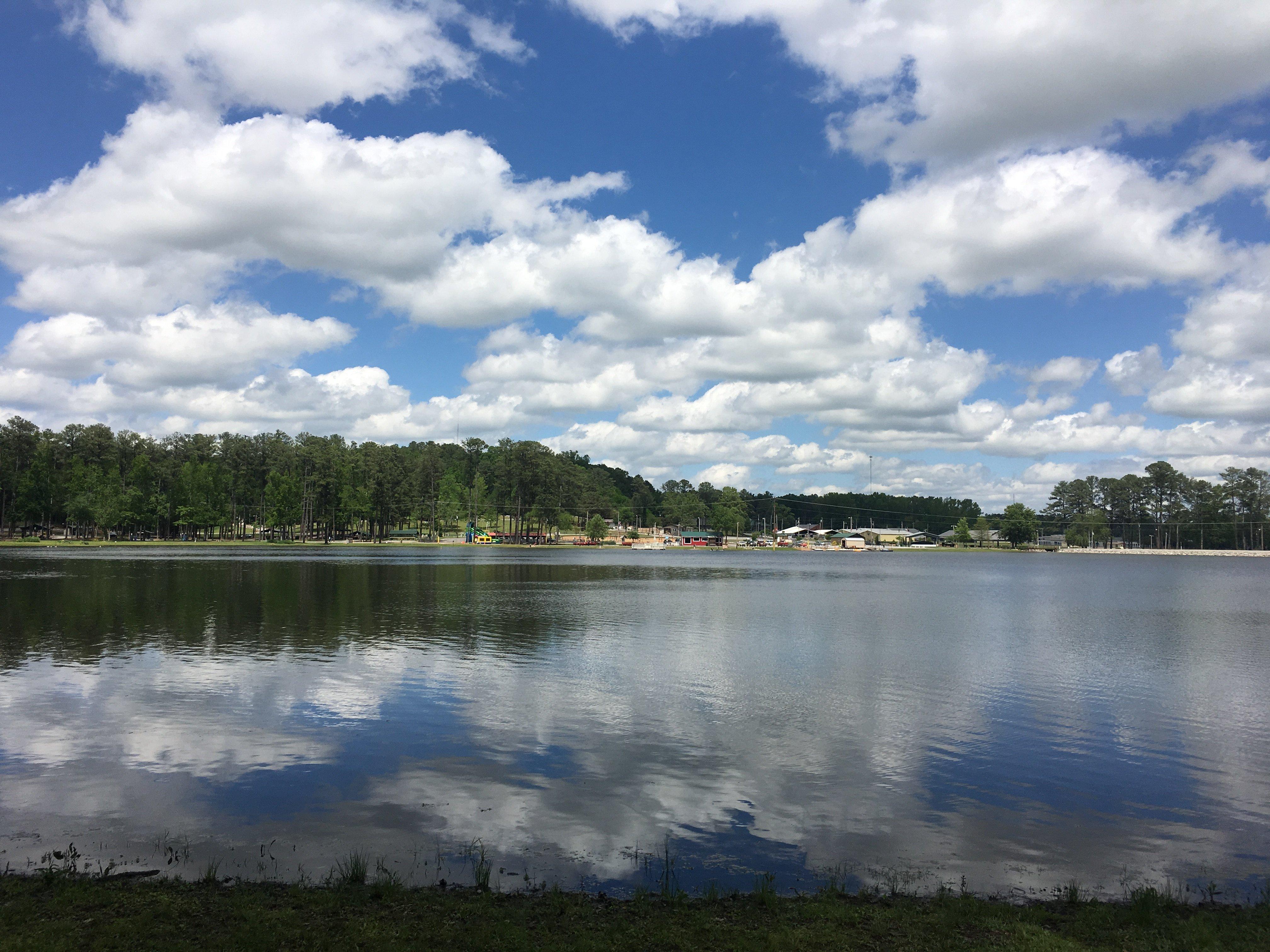
One notable spot in Baileyton is the Baileyton Town Park, which serves as a central hub for recreation and community events. The park provides a pleasant space for picnics, leisurely walks, and various outdoor activities. Additionally, Baileyton is in proximity to several natural attractions, making it an ideal base for exploring the surrounding countryside. Visitors and residents alike enjoy the tranquility and simplicity that Baileyton offers, making it a quintessential example of small-town life in Alabama.
Nearby cities include: Joppa, AL, Fairview, AL, Holly Pond, AL, Arab, AL, Eva, AL, Blountsville, AL, Union Grove, AL, South Vinemont, AL, Cullman, AL, Hanceville, AL.
Places in Baileyton
Dine and drink
Eat and drink your way through town.
Can't-miss activities
Culture, natural beauty, and plain old fun.
Places to stay
Hang your (vacation) hat in a place that’s just your style.
Advertisement


