Albertville, AL
Advertisement
Albertville, AL Map
Albertville is a US city in Marshall County in the state of Alabama. Located at the longitude and latitude of -86.211100, 34.265300 and situated at an elevation of 332 meters. In the 2020 United States Census, Albertville, AL had a population of 22,386 people. Albertville is in the Central Standard Time timezone at Coordinated Universal Time (UTC) -6. Find directions to Albertville, AL, browse local businesses, landmarks, get current traffic estimates, road conditions, and more.
Albertville, situated in the state of Alabama, is a city renowned for its rich agricultural roots and the vibrant Sand Mountain region's cultural heritage. Historically, the city gained prominence in the early 20th century as a key player in the poultry industry, a legacy that continues to influence its economy today. One of Albertville's most celebrated events is the annual Main Street Music Festival, which draws locals and visitors alike with its lively atmosphere, featuring a blend of music, food, and community spirit.
Visitors to Albertville can explore several notable attractions, including the Albertville Museum, which offers a glimpse into the city's intriguing past and development. The museum houses a variety of artifacts and exhibits that reflect the area's history and its transformation over the years. Additionally, the city is home to the beautiful Albertville Golf and Country Club, providing a scenic and relaxing environment for golf enthusiasts. With its blend of history, culture, and recreational activities, Albertville presents a charming destination for those exploring the heart of Alabama.
Nearby cities include: Boaz, AL, Horton, AL, Guntersville, AL, Sardis City, AL, Douglas, AL, Carlisle-Rockledge, AL, Crossville, AL, Geraldine, AL, Walnut Grove, AL, Snead, AL.
Places in Albertville
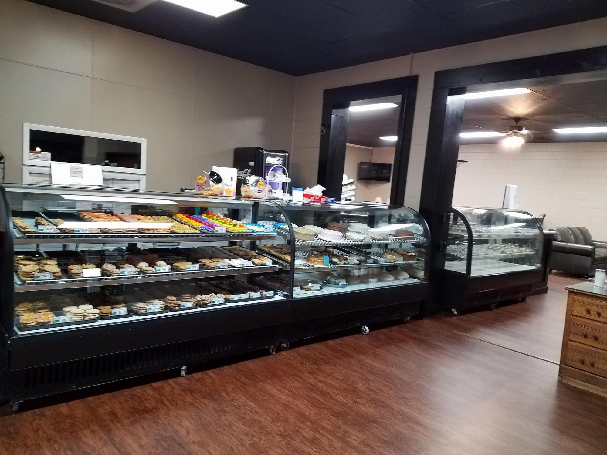
Dine and drink
Eat and drink your way through town.
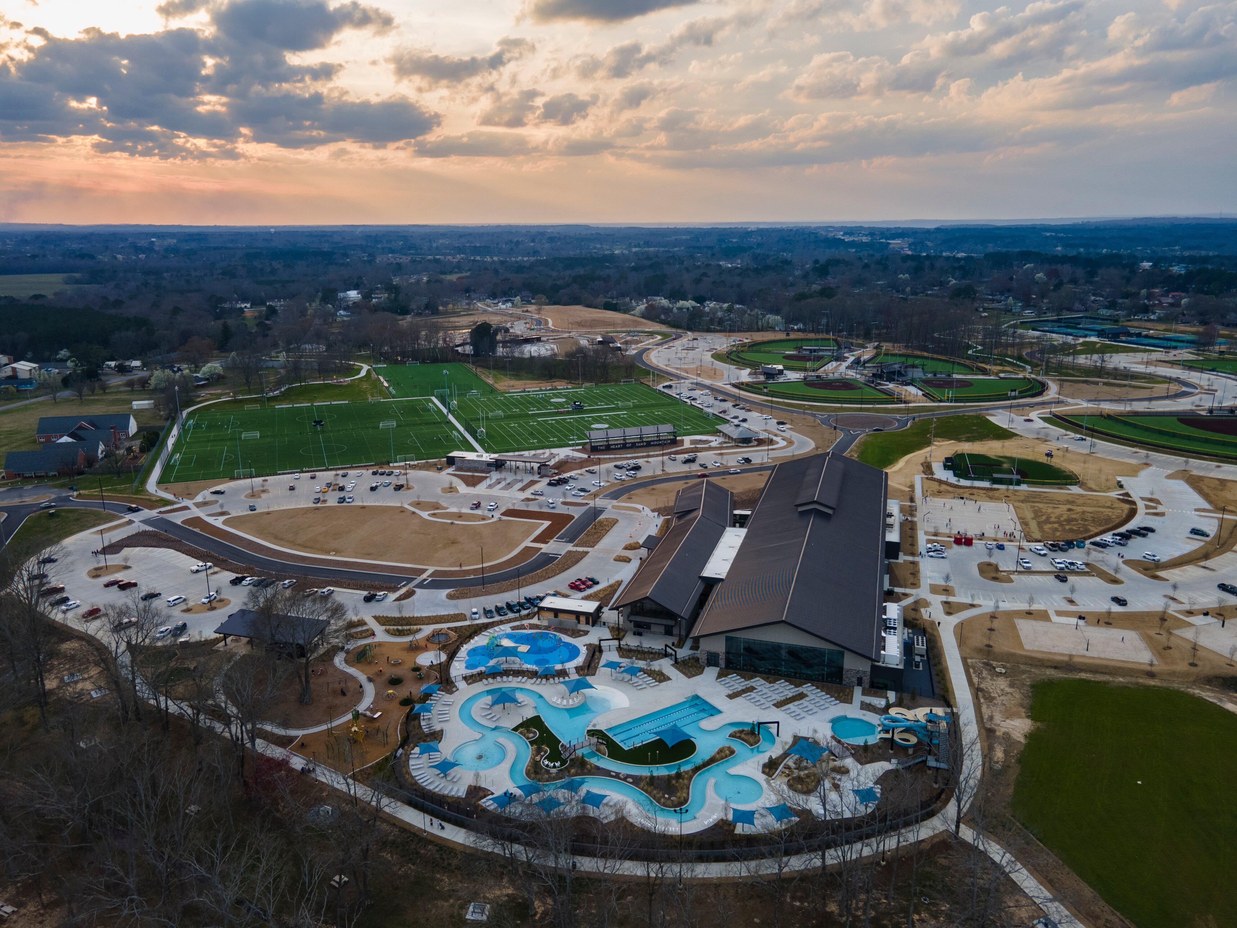
Can't-miss activities
Culture, natural beauty, and plain old fun.
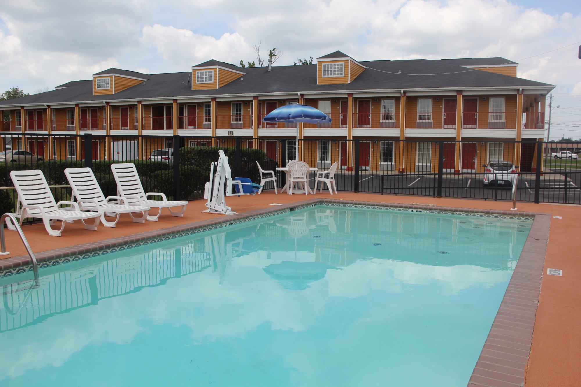
Places to stay
Hang your (vacation) hat in a place that’s just your style.
Advertisement


